
Horizon Europe · Neurology
CLARITY-PD: Causal Links of Air Pollution, Pesticides and Heavy Metals in Parkinson's Disease
Selected for funding by the European Commission, the Horizon Europe project CLAR…
View
Building healthcare technology since 2018 Schedule a demo with us
FINGER GIS covers the development of a multi-user desktop GIS open-source software for spatial and numerical data, server-based data operation, and role-based authorisation of data access.
Using GIS technologies it improves the quality, speed and efficiency of services — increasing workflow speed, service quality and traceability. FINGER GIS connects people, locations and data with interactive maps, and can be used in any organisation that does concurrent map or project sharing.
FINGER GIS was developed for the spatial database work of the İzmir Tarih Project run by İzmir Metropolitan Municipality. The public face of this work is the İzmir Tarih mobile app, which presents 258 historical and cultural sites in the Historic City Centre, including Kemeraltı, Basmane and Kadifekale.
Selected for funding by the European Commission, the Horizon Europe project CLAR…
View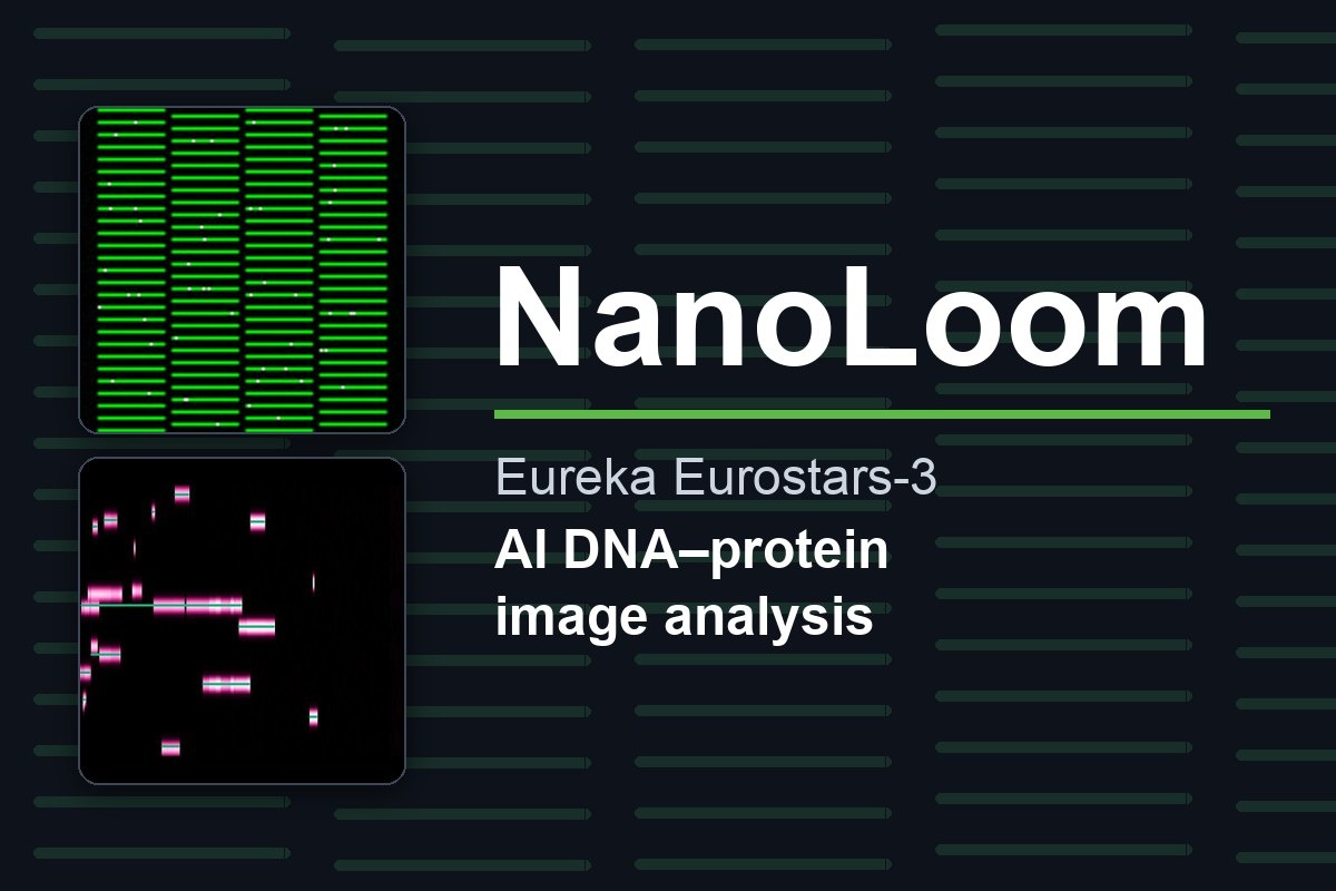
In the Eureka Eurostars-3 project NanoLoom, Emoda leads the development of the A…
View
Emoda is the only participant from Türkiye in the Horizon Europe LUCIA project,…
View